Freek van Leijen
Publications on Geodesy 86
2014, 195 pages.
Summary
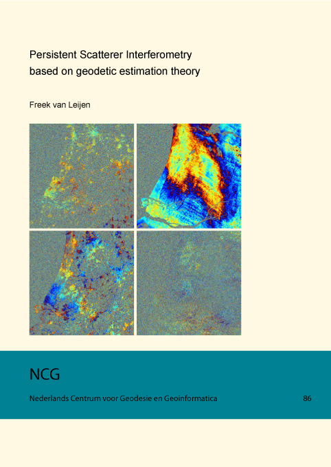
Satellite radar interferometry (InSAR) is a powerful technique to measure motion of the Earth’s surface. However, the applicability of the conventional approach is limited due to error sources: temporal decorrelation, geometric decorrelation, and atmospheric signal delay. Radar interferometric time series approaches have been developed to overcome these degrading factors. By using the information content of a full radar image stack, the impact of the error sources can be reduced and time series of the deformation history can be estimated.... (see pdf)
